Karnataka Is Using Satellite Radar and AI to Count Its Own Crops
Karnataka's new Composite Digital Crop Survey combines satellite imagery, radar, drones and AI to improve crop-area estimates that feed insurance payouts and disaster relief.
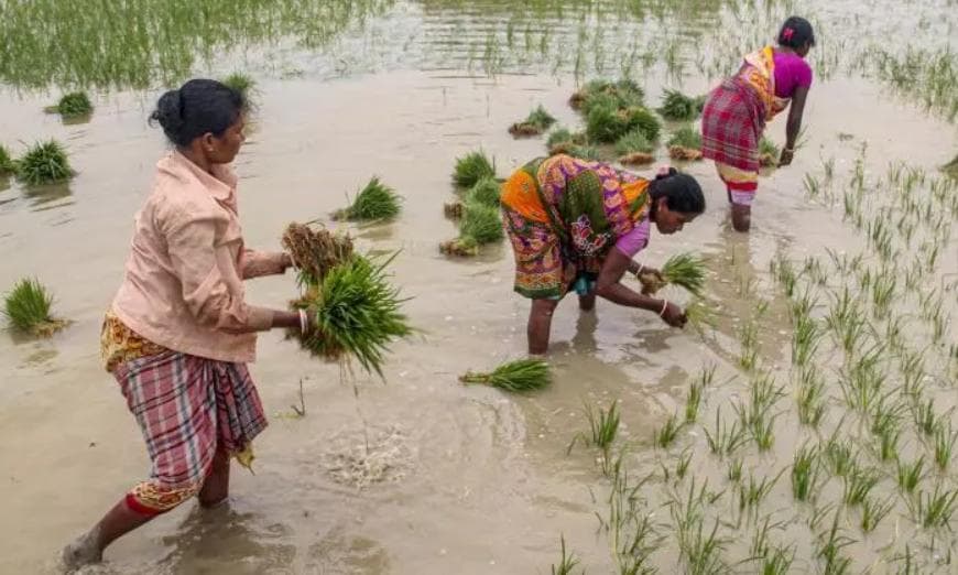
Karnataka has launched the Composite Digital Crop Survey (CDCS), a state-level initiative combining high-resolution satellite imagery, Synthetic Aperture Radar, drone surveys, GIS data, AI and machine learning to improve the accuracy and reliability of crop data. It layers onto the state's existing Digital Crop Survey system rather than replacing it.
The goal is more accurate crop-area estimation — a number that directly affects insurance payouts under PMFBY, minimum support price planning, and disaster relief assessments. The initiative aligns with the central government's Digital Agriculture Mission.
For now, the rollout is limited: the government will pilot the Composite Digital Crop Survey in five selected hoblis, chosen to represent all of the state's geographical divisions, before deciding on wider expansion.
Source: Deccan Chronicle