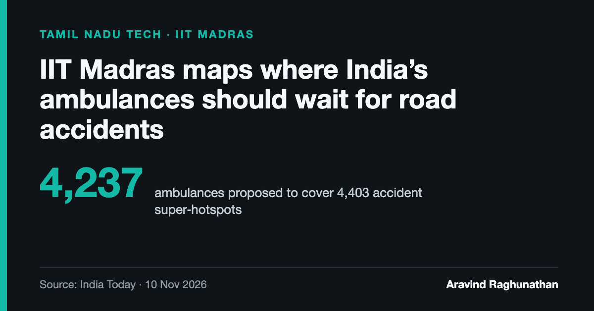
Researchers at IIT Madras have built a nationwide map showing where India's ambulances should wait so they can reach road accident victims as fast as possible. It proposes 4,237 ambulances placed to cover 4,403 accident "super-hotspots".
The idea
For an ambulance to arrive in time, it usually has to be waiting nearby already. The tool, called Dynamic Ambulance Positioning, decides where those waiting points should be. It was designed by IIT Madras's Centre of Excellence for Road Safety (CoERS) and the Rehabilitation Bioengineering Group (RBG Labs), under Professor Venkatesh Balasubramanian. The same group conceived the Ministry of Road Transport and Highways' national road accident database.
How it works
The model takes in each crash's state and district, location, date and time, deaths and severity, along with national highway records the ministry supplied in September 2023. Clusters of past crashes become super-hotspots, drawn as polygons on a map of India, and ambulances are placed on and around them.
Planners can filter by state, district, day of the week and three-hour block. The professor said most accidents cluster in the evening and early morning. The tool also marks tertiary, secondary and primary hospitals, measures distances, and exports results as a spreadsheet.
For Tamil Nadu, the screen shows 541 super-hotspot polygons and 497 ambulances, with dense clusters along the corridor from Tambaram towards Chengalpattu.
Why it matters
India recorded 4,61,312 road accidents in 2022, which killed 1,68,491 people. National highways accounted for about a third of both. The Motor Vehicles Act defines the "golden hour" as the hour after a traumatic injury when prompt care is most likely to prevent death. Getting a vehicle to the victim quickly is the gap this map is meant to close.
What it can't prove yet
The team is upfront about the limits:
- No state uses the map today. It is under discussion as part of a data-driven hyperlocal interventions programme.
- Tamil Nadu has used a similar approach with data from EMRI, which runs the state's 108 ambulance service, and IIT Madras's computed locations are under consideration there.
- The map won't be made public. It is meant for state planners.
- The team can't yet say how much it cuts response times. That needs historical ambulance positions and travel data.
"I am not saying it is right or wrong," Balasubramanian said. A local officer would still judge each spot.
My read
This is applied, unglamorous work, and it could save lives if a state adopts it. It runs on data the government already holds and needs no new hardware, only better placement of ambulances that are already on the road. I also like that the team doesn't oversell it. The real test is whether Tamil Nadu tries it against its 108 response times and publishes the before and after.
Source: India Today: IIT Madras maps 4,403 road accident hotspots to place 4,237 ambulances